Land Information System Launched at Technopark
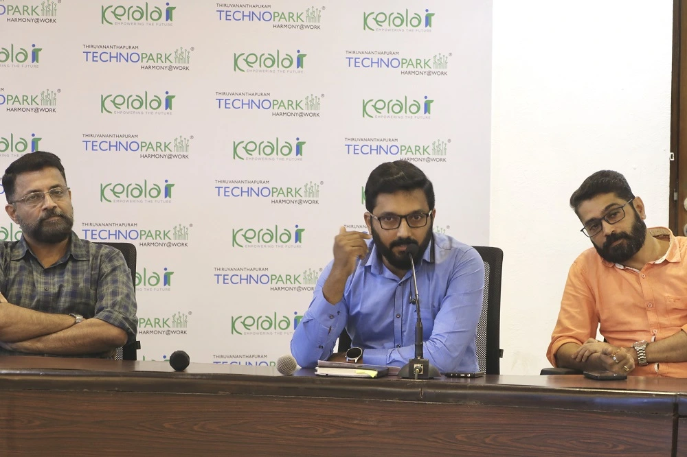
Col Sanjeev Nair (Retd), CEO Technopark; Mr. Azeeb A K, AGM (IT), Technopark; and Mr. Sunilkumar R, Manager, Land Acquisition & Legal, at the LIS launch.
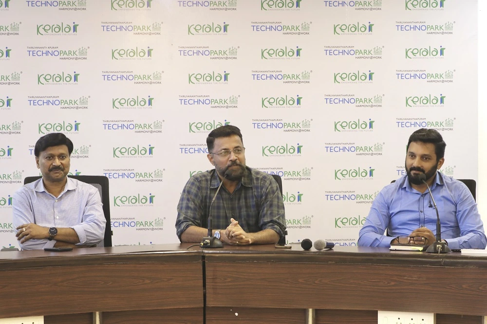
CEO Technopark addressing the gathering. He's flanked by Mr. Madhavan Praveen and Mr. Azeeb A K.
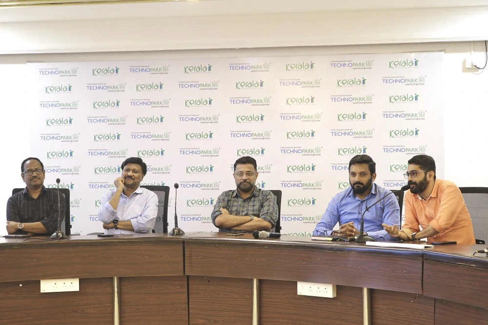
Mr. Suresh Kumar K, Secretary-Registrar; Mr. Madhavan Praveen; Col Sanjeev Nair (Retd); Mr. Azeeb A K; and Mr. Sunilkumar R at the launch.
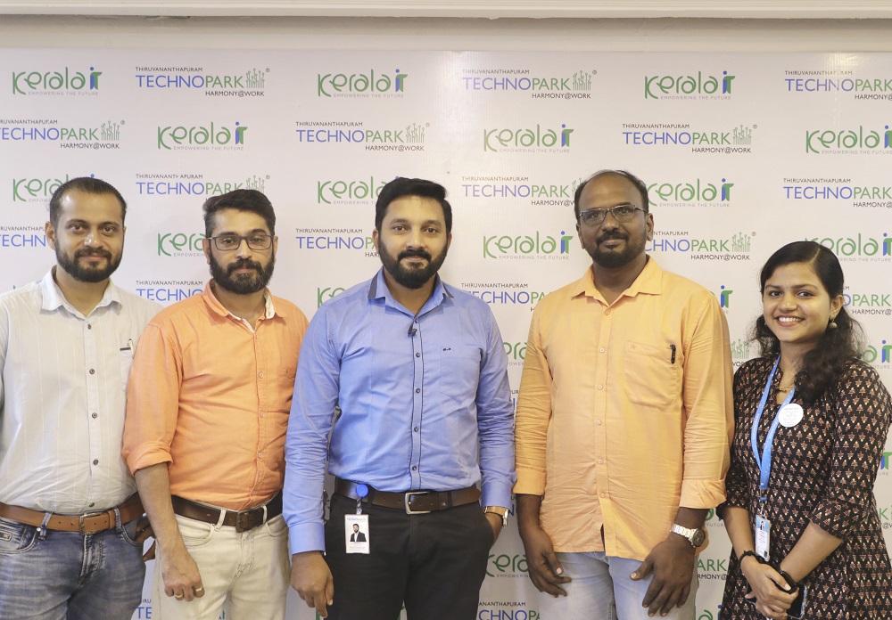
Mr. Jojo Jose, Operations Manager -IT, PAN Environ India Pvt Ltd.; Mr. Sunil Kumar R; Mr. Azeeb A K; Mr. Hashim Aziz, Team lead - GIS, PAN Environ India Pvt Ltd; and Ms. Sree Durga.

Mr. Madhavan Praveen, GM (Projects), Technopark, addressing the gathering at the launch of Land Information System (LIS).
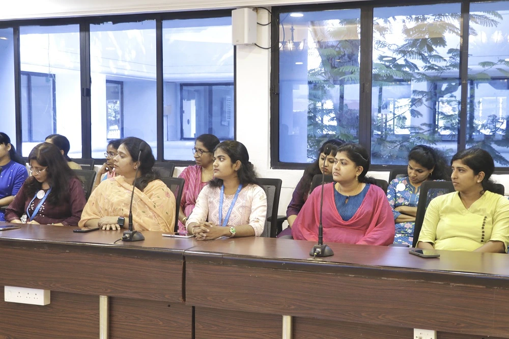
Technopark officials at the launch of Land Information System (LIS), a one-of-its-kind application, with an advanced GIS-based tool designed to manage, analyze, and visualize land records.
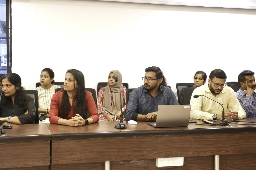
Technopark officials at the launch of Land Information System (LIS), a one-of-its-kind application, with an advanced GIS-based tool designed to manage, analyze, and visualize land records.
